You: What did you do on holiday?
Me: We went to Italy and walked up hills.
You: What… for fun?
Me: Yes
You: … All week?
Me: Yes
We rose late and lazy and checked the weather reports. You have to take an average of several sites to get something useful. But today they all looked crap with significant rain after midday. This was unlikely to be a clever day to be stuck on the side of a mountain.
After some heavy hints that I wanted to go back to the open air WW1 museum at Rifugio Lagazuoi (near the top of the first Via Ferrata) we ended up going for a walk.

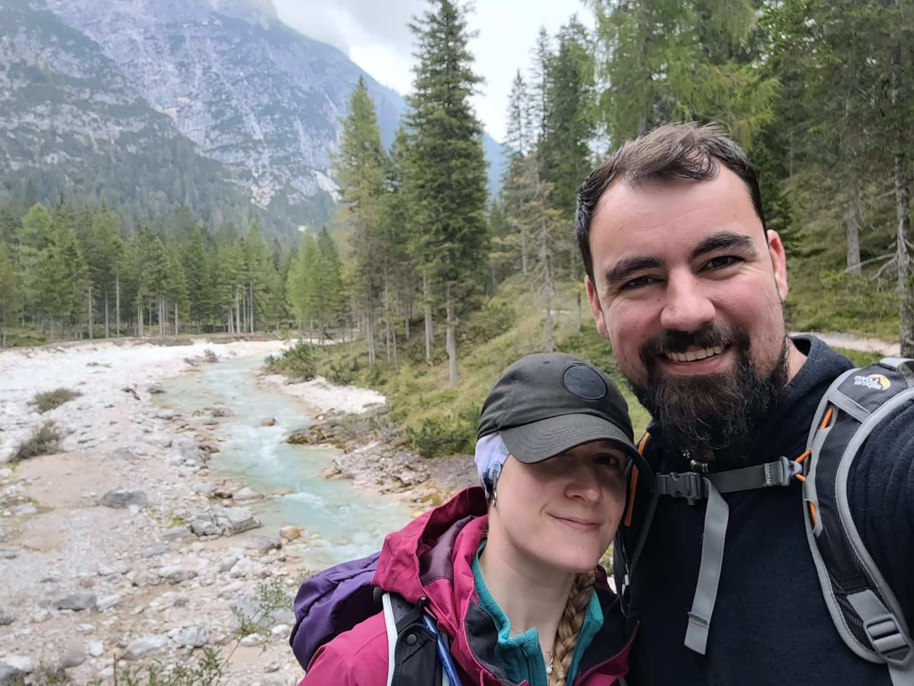
It was a lovely walk, up to a pass that would let us circumnavigate the Col Rosa. This was about the shortest circular walk we could find that would be under 5 hours long…
All of us were enjoying the walks, and not to complain about something so wonderful as the mountains, but when you come from middle England, your body is not naturally ready for the sheer steepness and length of each of these climbs.
The biggest / steepest climb near us is Mam Tor at a dizzying 517m high… but you only climb about 300m of that from Castleton.
Today we climbed from the bottom of the valley at 1300m to the pass at 1700m… so, about 400m…
… is that it?!
Only 100m more?
Well Strava – known for its accuracy – says we gained over 500m so that’s more like it.
Wow, we really are feeling the cumulative effects of hiking every day for a week! It felt a lot higher! Maybe because we are hiking within huge valleys with vast mountain tops towering over us, our perception of height is warped? Anyway, it was a long walk of 12.2 km so I don’t feel like we cruised it, we definitely worked.
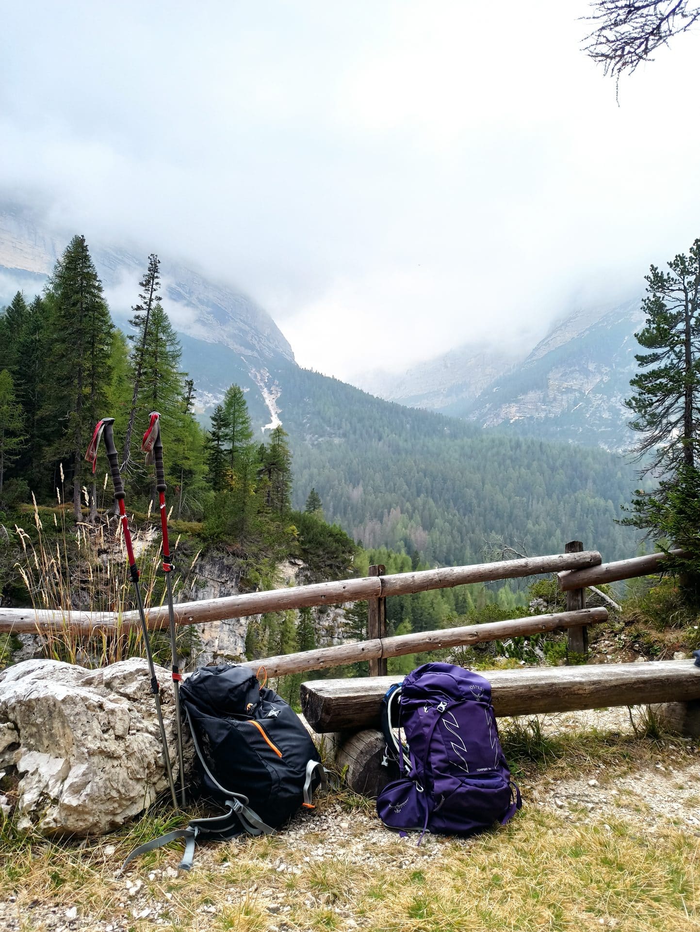
The scenery was as stunning as ever with really well sign posted tracks. There is so much water coming down the mountains and its so clear and fresh, there are regular water spouts and troughs to fill up your bottle. We have always been walking with plenty of water. I carry about 3L for a day out, but you could happily get away with just 1L and top up as you go. No chance of this in the UK. Any public spouts would be broken and grafittied within a week and if you did drink it, guaranteed the water would give you the plague.
I may be fixating a little, but the water here is incredible. Its ball-shrivelingly-cold but super clear. But the river water is still a beautiful light turquoise blue. Its cant be reflecting the sky because its been very overcast today, with clouds all around. (Basically we are the sweaty, meaty, filling in a candyfloss cloud sandwich)
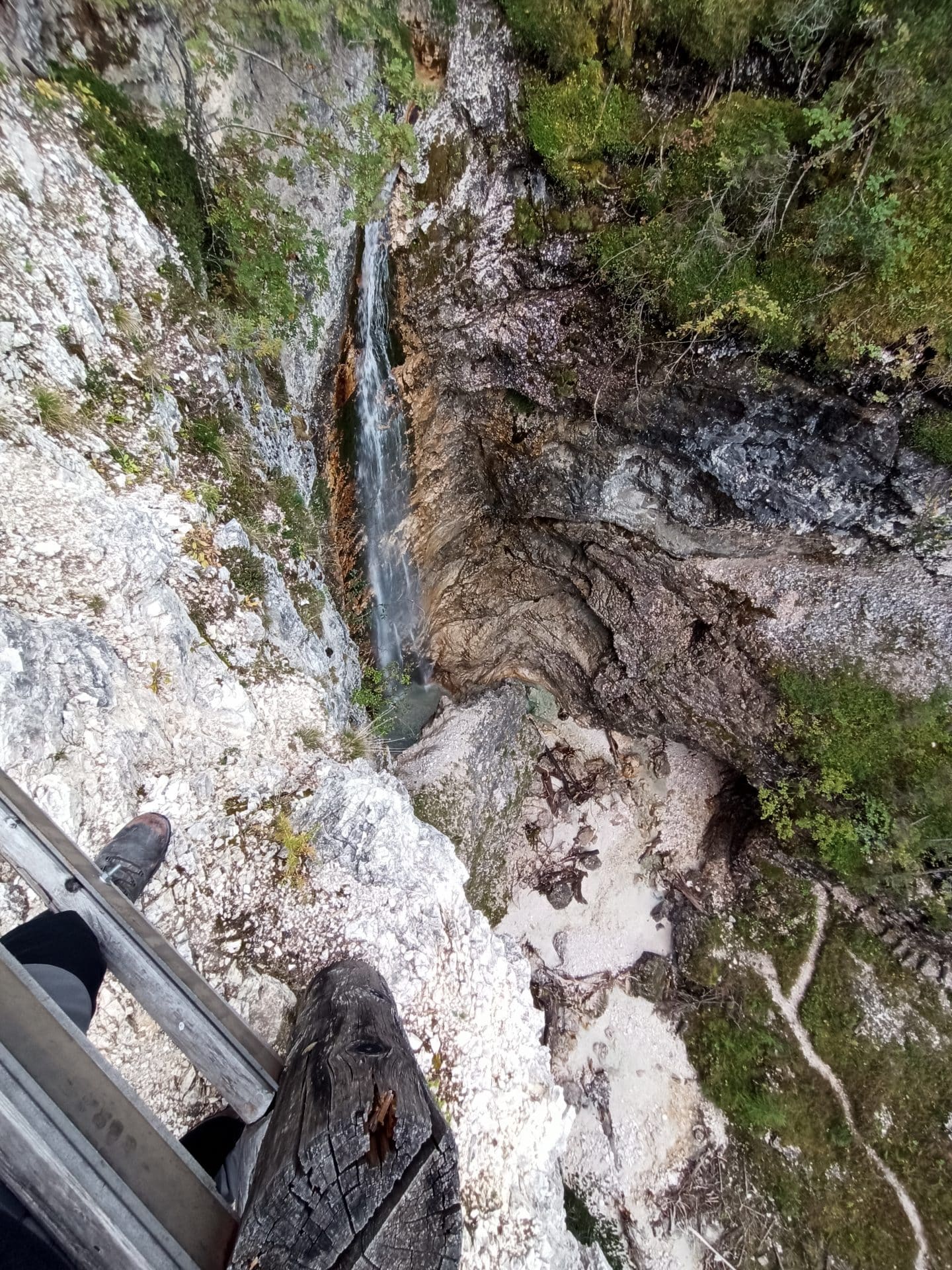
It also carves out some wonderful shapes in the limestone as it makes its way to join the wide river at the bottom. We came across a view point and bench overlooking a deep chasm. Into it fell a long waterfall crashing onto the grey-white limestone below. It had erroded an egg shaped depression in the floor and swirled frothily before snaking away.
After a sandwich and a break we continued up the path and found the stream feeding it. Clearly a large hoofed animal of some description had come down for a drink as it had left prints in the sand. This was very cool to pretend to be Ray Mears, but annoyed Aimi as she had been complaining there was zero wildlife in the Italian Dolomites. One reason, we speculated, was that all the deer had been turned into salami. Tasty salami we had been putting in our sandwiches each day.
The next section got steep and sustained. Scott powered ahead, not bothering to use his new walking sticks in his bag. I just got into my rythm and pounded away matching the timing of my breathing, steps and sticks till we reached the top.
I had expected the to be a GeoCache here, but alas. It seems the cache community does not want to walk up this pass, or does not think the location is worthy. However, after a long, and surprisingly gentle on my knees, descent, we reached a track. This ran parrallel to the wide, flat and sandy riverbed that only trickled with water at this time in the year. I’m sure in spring, it would be thundering with snow melt. Along this track, someone had installed articles of art.
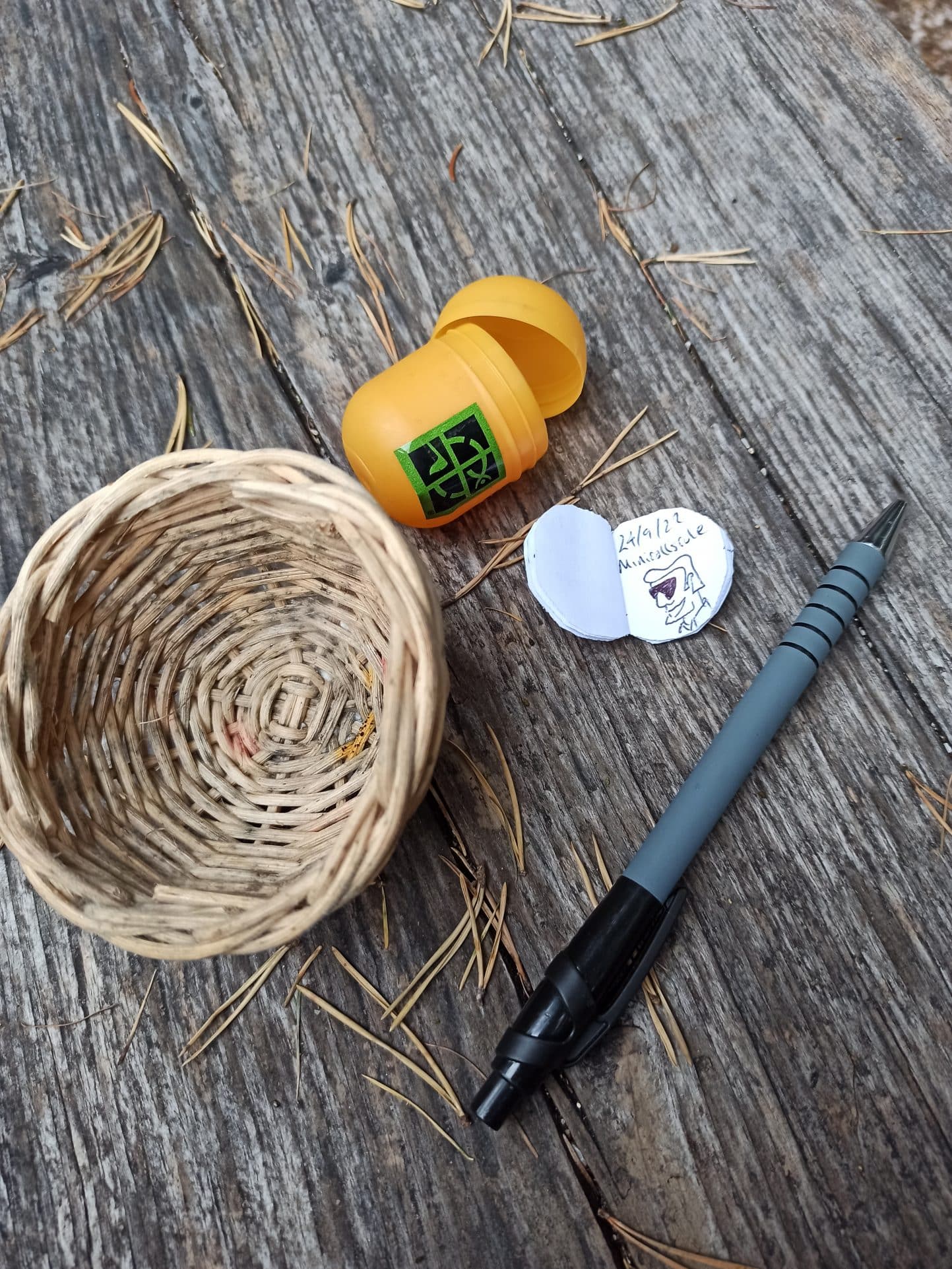
Happily, there were 3 GeoCaches on our route. The first under a giant set of keys, lost in the woods. The second in a fake birdbox, near a tall tree stump that jad been carved out and fitted with a door. It was a log library, containing books you could swap and read. And the third I didnt manage to find, near a load of planks that had been planted vertically in the ground in a huge X symbol. This was because the team were fetting bored of me turning over rocks and looking under bushes and, by now, wanted to get the walk finished with.
Returning to the chalet, the rain just started. We were glad we had managed the day without getting wet, but it would have been nice to do another Via Ferrata. Ah well, after this walk, and all the previous day’s walks, I’m not sure my body would have appreciated it. That night, Scott made another typically Italian dish – carbonara. After he explained how to cook it, I think I’ll give it a go when home – how hard can it be?